The berms suspected of being the walls of Zarahemla have been traced, on and off, for 9.42 miles using LiDAR images. With LiDAR all berms are evident for 5 miles and another 4.42 miles contain destroyed or
eroded berms that must be examined with ground surveys to see if they still exist in some form. All of the berms detected with LiDAR are elevated above the crop fields and within the tree line.
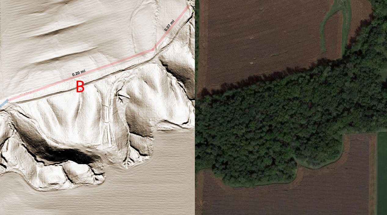
The image below shows a small section of the southern bluff that contains a distinct wall berm (B). LiDAR vs Satellite imagery of the same area is contrasted. Note that the berms detected in the field are
of modern construction and used for field water retention. The areas south of the berm, on the foothills and on the top of the foothills may have once contained additional defensive structures
but more examination is needed.
April 3 2022. Boots on the ground research work began for the wall foundations of Zarahemla.
Timeline
Over 2 Years Ago: Wayne May discovered a large berm that extended about 500 feet along the southern foothills of the Zarahemla plain, west of Montrose. It was located within the tree line. It was suspected at the time that the berm could be the foundation remnant of an ancient fortification wall. The height of the berm was about 13 feet.
November 2021: Don Cummins of Air Data Solutions schedules a flight path of 34,000 acres for Hi-Resolution LiDAR for the Heartland Research Group. The target area starts just south of Fort Madison and extends south beyond Montrose and also includes Nauvoo on the east side of the Mississippi. LiDAR is a process of shooting billions of laser beams of various wavelengths to the ground which bounce back to the plane where the timed results are recorded. Later the raw data is processed to remove trees and vegetation in order to reveal precise ground elevation and contours.
January 2022: The processed LiDAR files (i.e. point cloud files which are used to create GeoTIFF files for ArcGIS and QGIS visualization programs) are made available to the Heartland Research Group.
January 23, 2022: Multiple berms, potentially part of the ancient walls of Zarahemla, are first identified along the entire foothill region south and west of Montrose and north along the foothills to the outskirts of Fort Madison, where the scanning stops. Out of 9.42 total miles of scanned foothills, 5.0 miles of distinct berms are identified from the LiDAR, far more that the original 500 ft originally found by Wayne.
Week of March 27, 2022: An HRG expedition team visited one of the berm sites with permission of owner Roger Chatfield, to gather information and establish if the berms are man-made, and to try and date them.
The following has been reported from the expedition team:
From Roger Chatfield: He first saw the berms in the early 1940’s. At that time they were forested. The berms are fruitful areas for hunters of ancient artifacts and much has been found over the years. The berms are not used for water retention or flood control. Farmland at the top (plateau) of the foothills was once used for cattle which destroyed vegetation and led to flooding and washed out some of the berms in modern times.
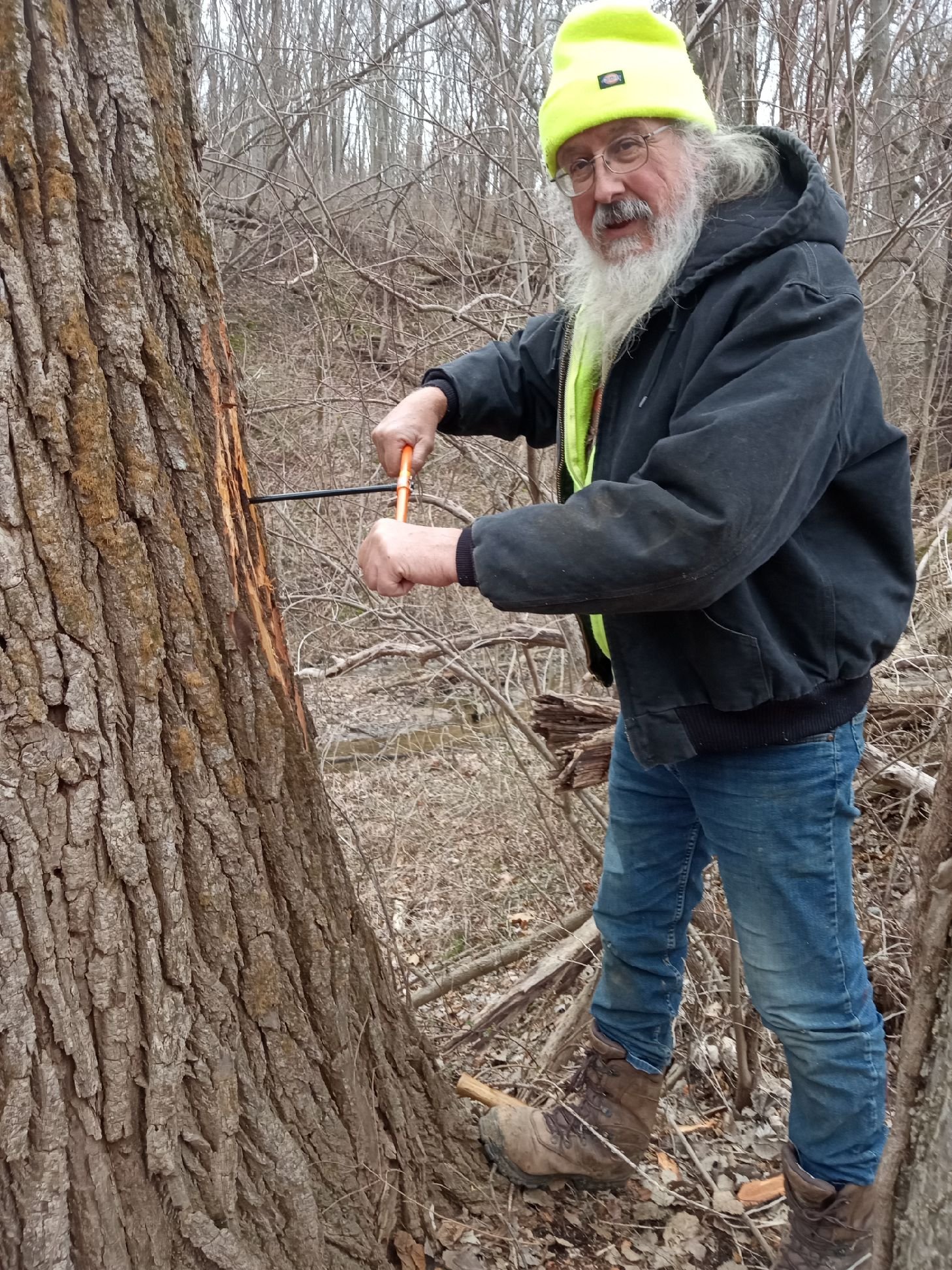
From Mike Stahlman: A large tree on the Chatfield berm was found and a core sample taken so the growth rings could be counted. The tree is estimated to be 144 years old.
From Larisa Golovko (LandVisor scanning) and Yuri Manstein: They have done some scanning on the berms. Results have not yet been processed.
Research is ongoing but so far I think there is a general consensus that these berms are man-made, not of modern construction, and have the potential to be part of the wall defenses of the ancient city of Zarahemla and that it is worth our continued study and exploration (especially when the weather is better). The berms are where we would expect the walls to be for the ancient city of Zarahemla.
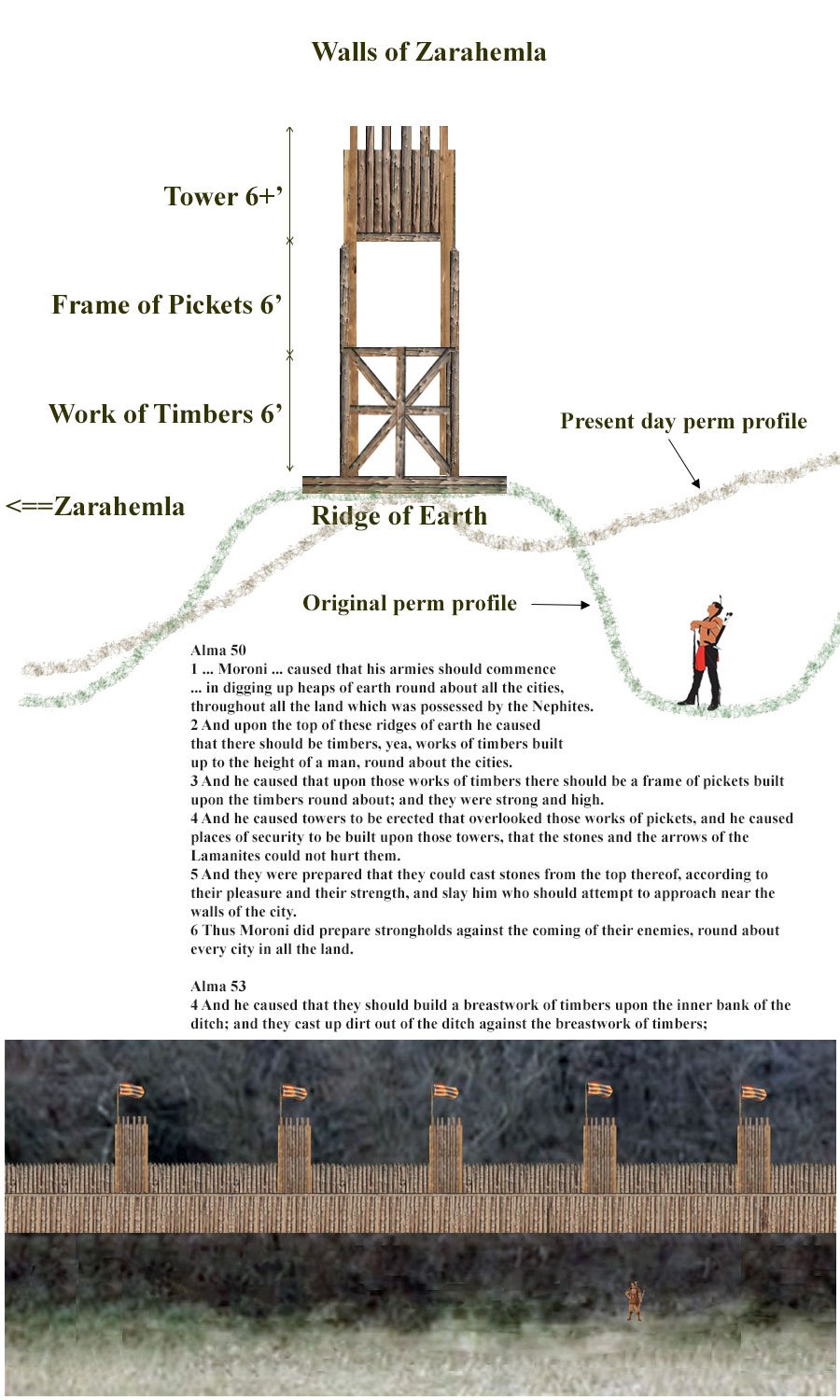
A description of the construction of defensive walls is given in the Book of Mormon. The image below is just one possible view of interpretation but it gives an idea of what we are considering and finding on the ground.
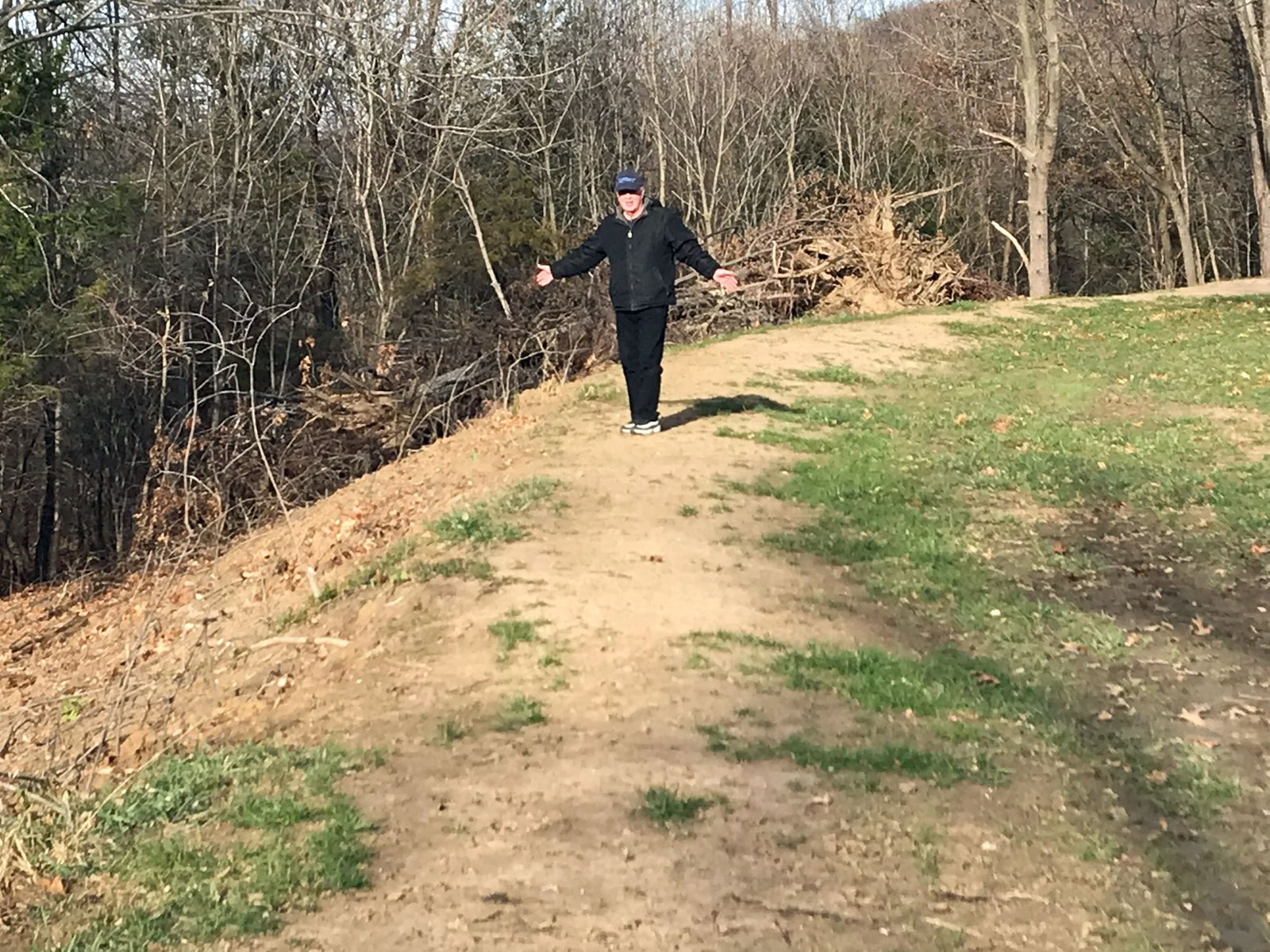
This berm south of the Zarahemla plain was discovered by Wayne May in 2017. This is a large berm rising 13 feet.
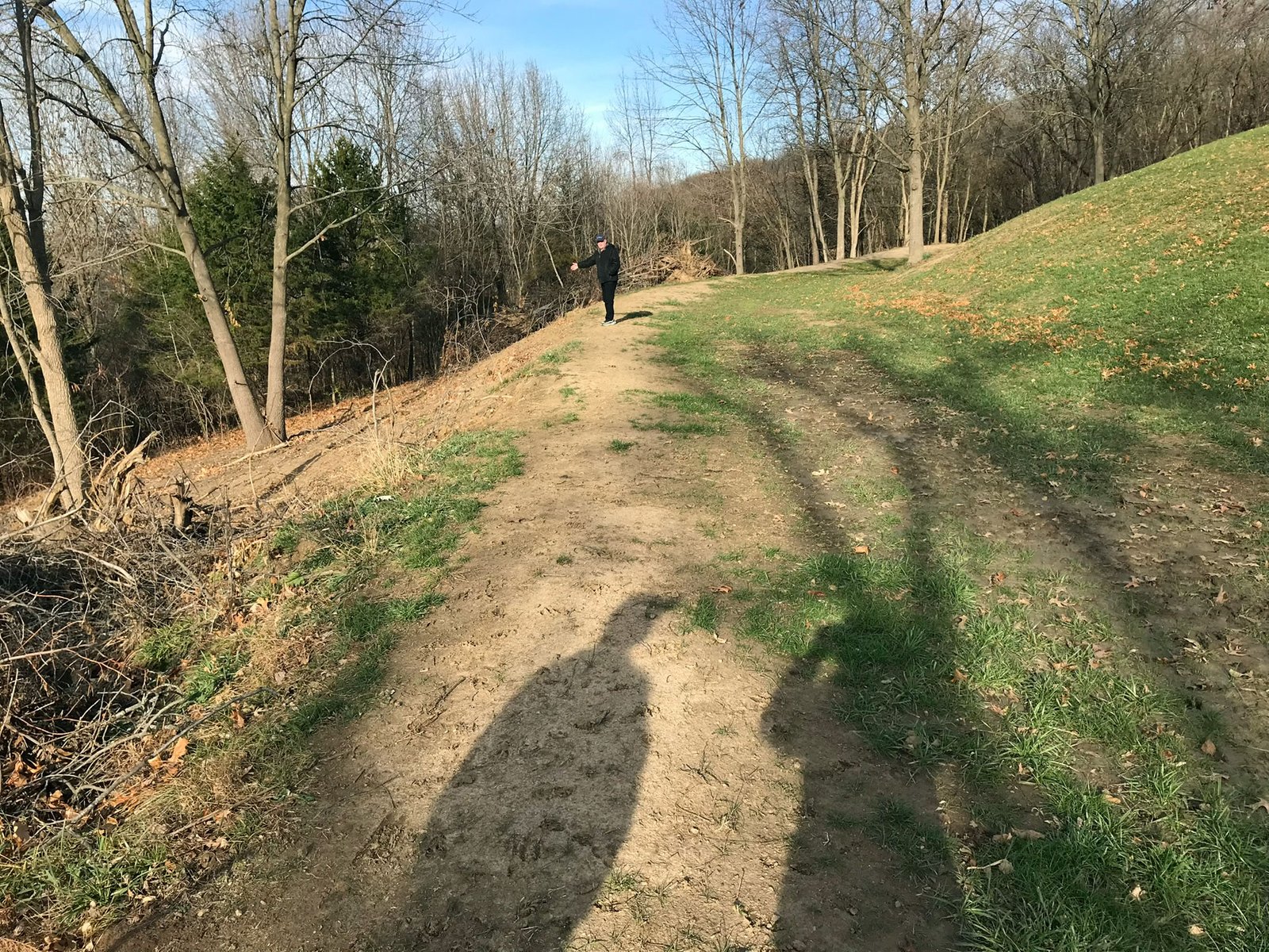
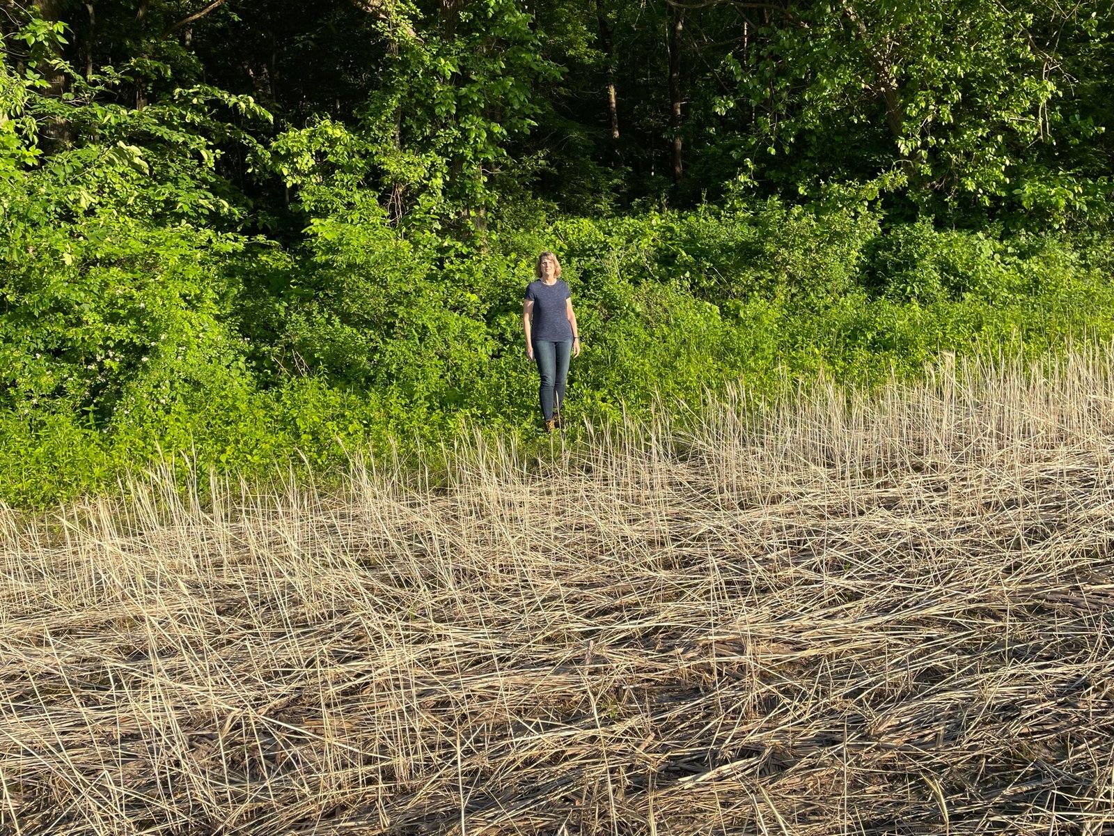
Someone walking along the top shows the overall shape of the Wayne May berm in an area that has been cleared of brush.
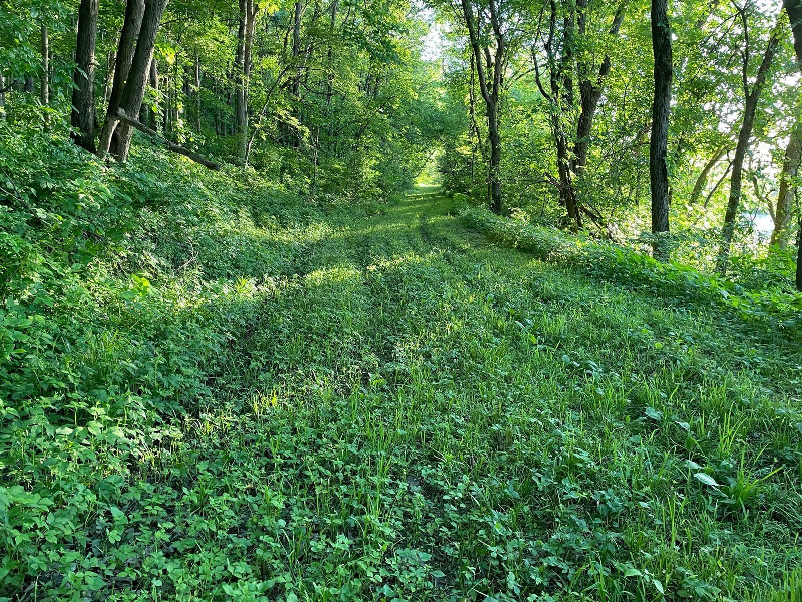
Looking west. The bluff is left to the south. Notice that the berm slopes south which shows it is man made. It is cleared off here for convenient tractor access to the north fields. This berm rises at this point about 30′ feet above the field.
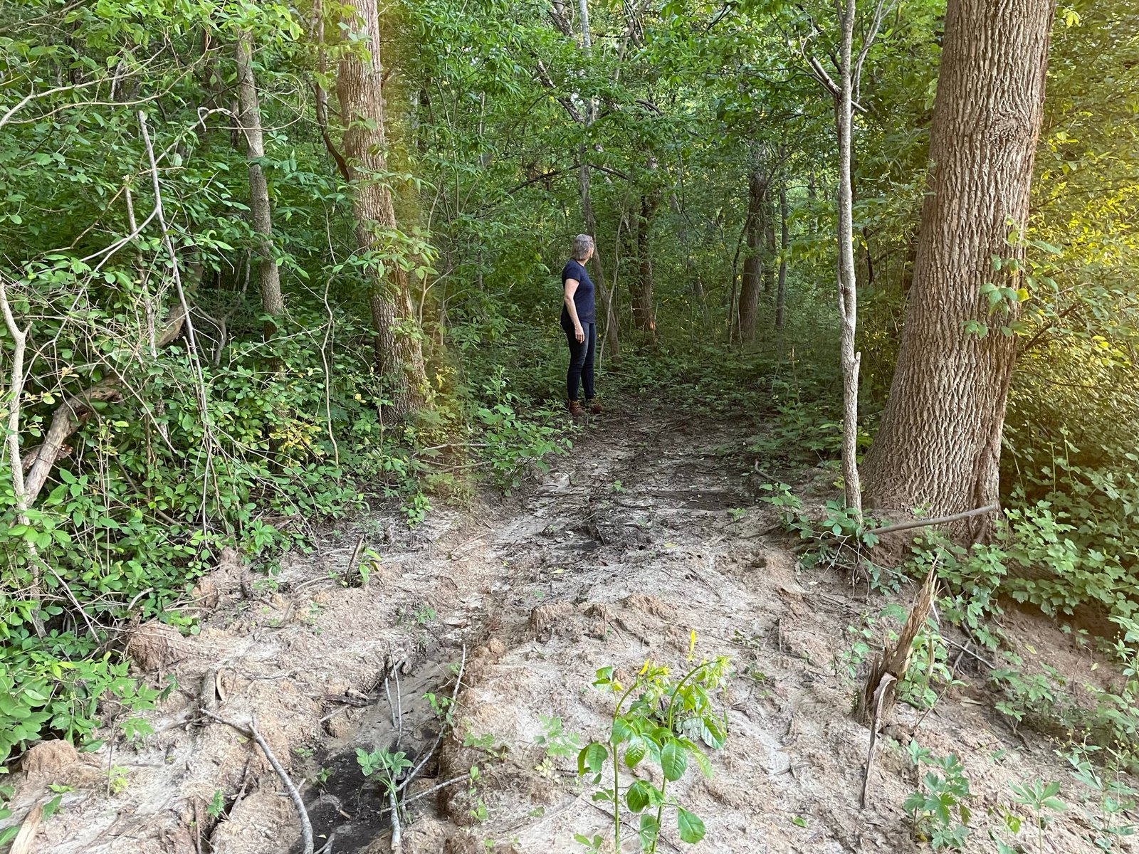
Here is seen the long length of a low lying berm, looking to the west.
One one short expedition in March of 2022 has been undertaken so far to visually inspect a very short section of a wall berm that may have once formed a foundation for the walls of Zarahemla.
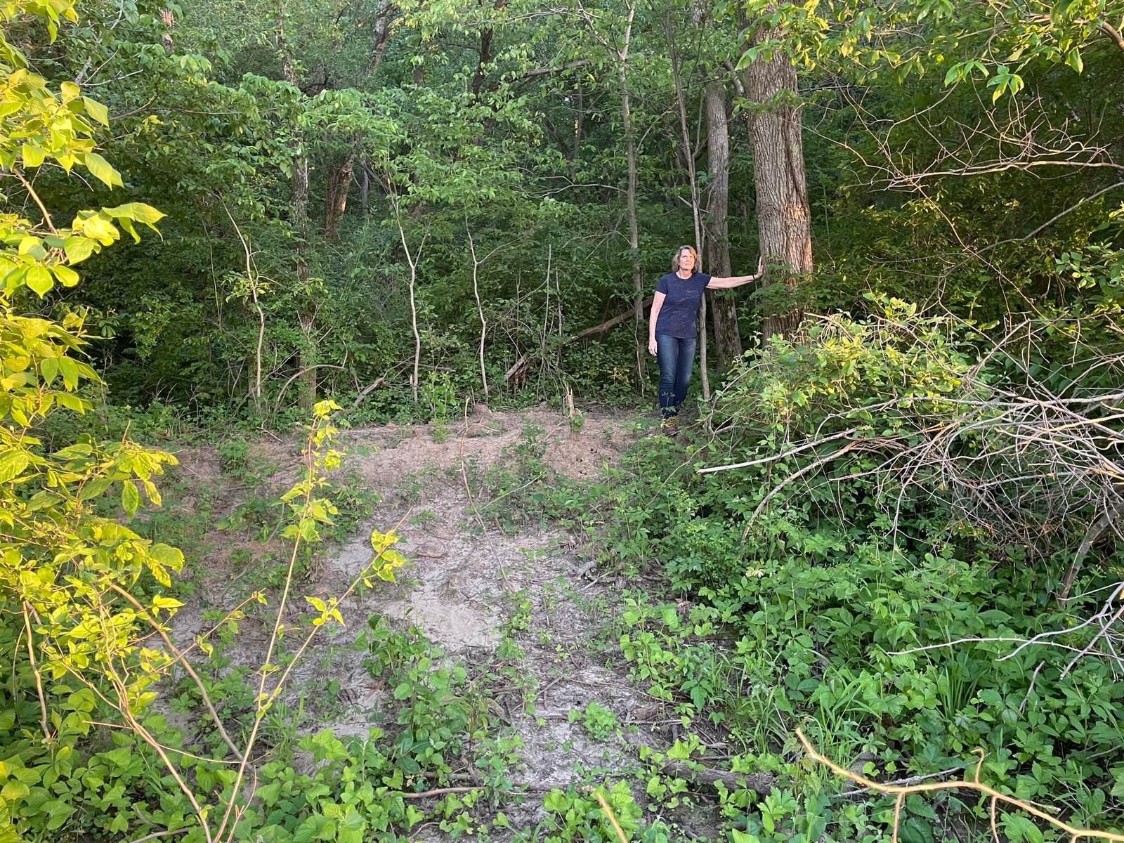
This is Mike Stahlman taking a tree core sample so the rings can be counted. The tree growing on the berm was 144 years old.
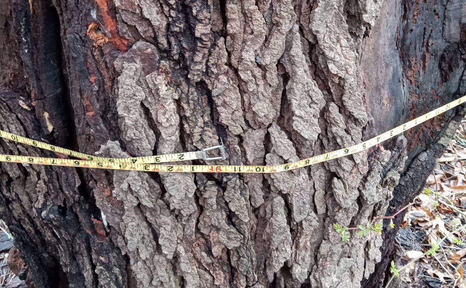
The diameter of the cored tree was 9 feet 1/2 inch.
This berm discovered by Jay, Jeri, and Michael Mackley in November of 2020.
This wall berms begin to rise up the hill as one heads toward Bluff Park. The berm here is much smaller than the ones at the foot of the bluff.
Chatfield berm looking south. This is a smaller berm than most. It has been eroded by the stream that is just beyond the top of the berm where there is a 15 foot dropoff.
Along the top of the Chatfield berm, looking west.
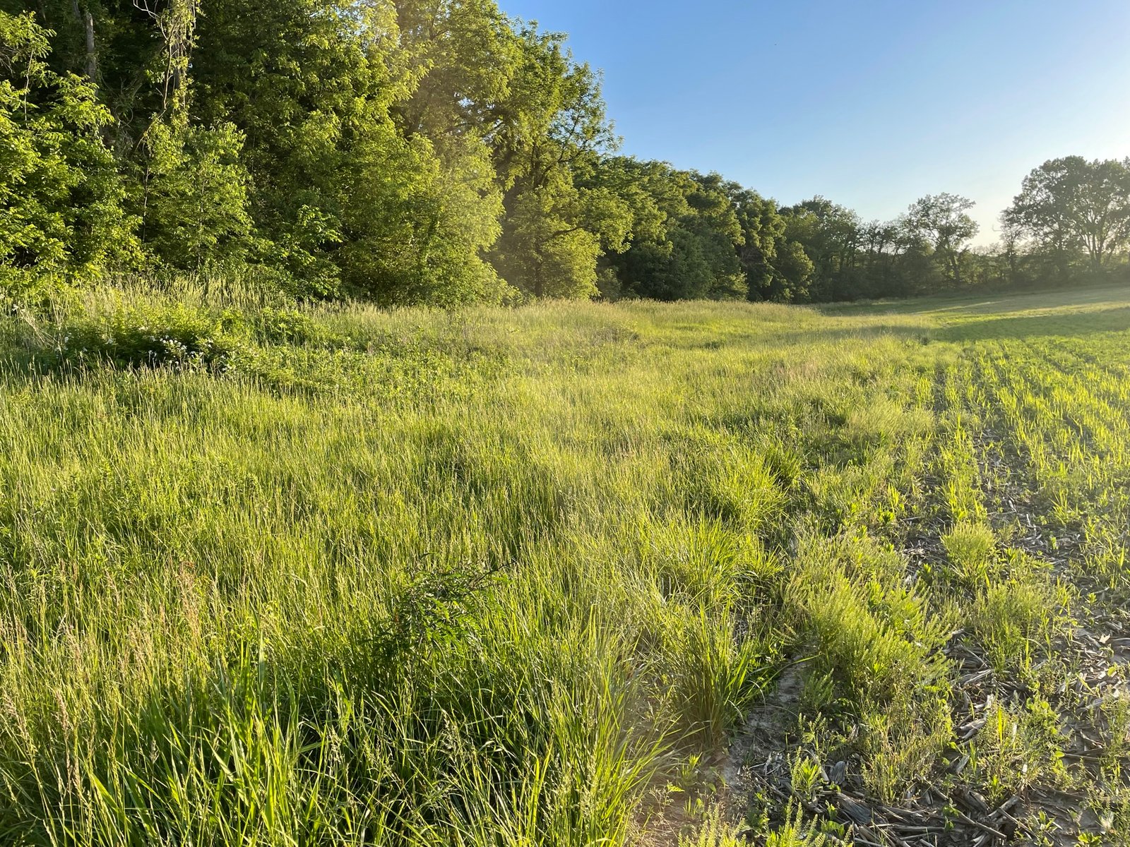
Beginning of this berm is only about 6-8 feet above the field.